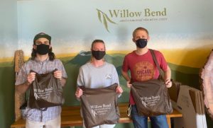
In August, students went back to school and Willow Bend had their first in-person board in over a year! We also hosted an in-person adult workshop “Gardening for Wildlife” to help educate about the use of gardening to attract native wildlife and restore habitats around Arizona. The workshop was held in partnership with AWWE (Arizona Watchable Wildlife Experience) and the AZ Wildlife Federation.
We also saw many visitors such as students from the Sustainable Communities Program and Dr. Mike Wagner, the Project Manager of AZ Milkweeds for Monarchs to see Willow Bend’s milkweed plants,
 Our first in-person field trip of the semester started in September, with 4th-grade students from Sechrist Elementary. The next day we had Sechrist 5th graders for water quality testing at Frances Short Pond. We continued to lead field trips throughout the month. We also hosted another adult workshop with Mike Dechter to learn about Food Fermentation. We celebrated the Festival of Science at Science in the Park, with fun hands-on renewable energy and waste reduction activities. We also led a downtown geology tour with board member and USGS geologist, Daniel Foley.
September was also the month the board celebrated with Melissa before her maternity leave and we hosted a Downtown Geology tour with our board member Danny Foley in collaboration with the Flagstaff Festival of Science! 
The start of the school year came in full force with field trips and activities that will continue into the next few months!
(Blog written by Camryn McMahon)
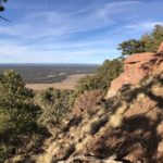
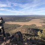
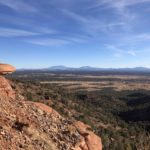
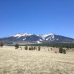
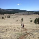
 Family hikes, warm weather, and monsoons were in season for Willow Bend this July! Our amazing Friends of the Willow Bend Gardens were hard at work restoring the gardens, planting, weeding, and creating pollinator habitats.


 We then started our summer programs learning about insects and worms with the help of the Biodiversity Outreach Network. We worked with Kinsey Elementary to present the complexity and importance of these incredible little creatures.


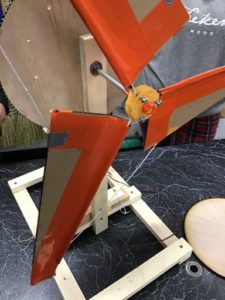
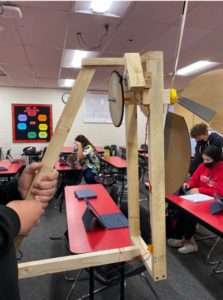
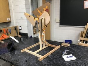
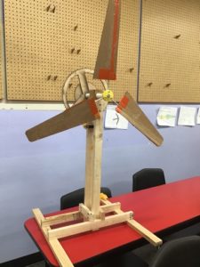
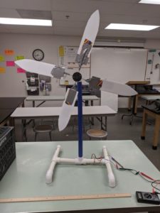
 n environmental education projects.
 Congratulations to ALL teams that submitted to our